
-
After many delays, the STS-99 flight is up and mapping the earth with the Shuttle Radar Topography Mission, and with EarthKAM. The Office of Space Science Education at the Space Science and Engineering Center at the University of Wisconsin-Madison, is providing high resolution global cloud cover images for the EarthKAM Project every three hours. With a Java capable browser, schools can select small areas to check the cloud cover for help in targeting their EarthKAM images. Mr. James Kotoski's Seventh Grade class at Spring Harbor Middle School, Madison, Wisconsin, is the only school team participating from Wisconsin in the STS-99 EarthKAM Project.
-
We have successfully inducted two MMSD schools (Spring Harbor Environmental Magnet School and Velma Hamilton Middle School) into the EarthKAM program (previously known as KidSat). This program, the brainchild of astronaut Sally Ride, enables school children to learn about the earth's environment through remote sensing observations they can make by themselves using a CCD camera on the space shuttle. The project emphasizes geography, technology, math, environmental science, communication, leadership and team work. The two Madison schools participated in the STS-89 flight launched on 22 January 1998 (which carried the fastest growing wheat plants to Mir).
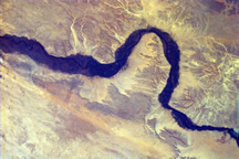
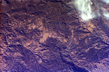
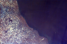
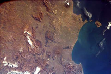
Here are a few
images taken by Spring Harbor Environmental Magnet School...


